
We are lucky enough to live in an area where we can be outside most days of the year. And there are so many things to do in Northern Virginia that we want to make sure you can try new things as well as your tried and true favorites. This week we are highlighting sharing tips for hiking in Shenandoah National Park.
As the leaves begin to turn and the temperatures begin to cool, it is the perfect time to take a hike in Shenandoah National Park. With more than 500 miles of hiking trails, there are options for all ages, interests, and fitness levels. Most trails are accessible from Skyline Drive and easy to find using the milepost numbers.
If you want to bring your pet along on the hike, be sure to check the Shenandoah National Park website first. Many trails do not allow pets. Here are just a few of the many hiking options throughout the park.
BEGINNER HIKES
Limberlost Trail – Located at milepost 43 on Skyline Drive, this 1.3 mile circuit hike winds through mountain laurel and feathery ferns. There is a parking area at the trailhead that provides easy access. As a designated TRACK trail, this hike is designed to help kids explore nature. Download the self-guided brochure here.
Distance: 1.3-mile circuit hike
Difficulty: Easiest
Hiking Time: 1 hour 30 minutes
Elevation Gain: 130 feet
Fox Hollow Trail – Located at the Dickey Ridge Visitor Center at milepost 4.6, this 1.2 mile hike features historic rock walls, a cemetery, and periwinkles. Fox Hollow Trail is another designated TRACK trail. Download the brochure here to learn how the homesteaders in this area lived back in 1856.
Distance: 1.2-mile circuit hike
Difficulty: Easiest
Hiking Time: 45 minutes
Elevation Gain: 310 feet
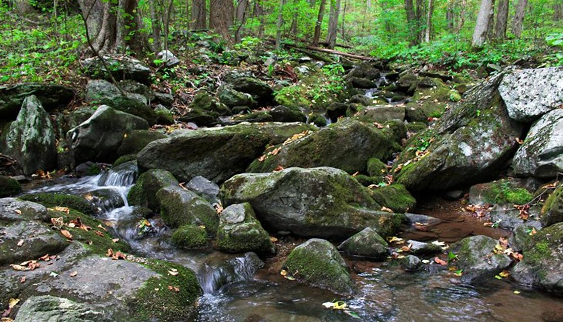
WATERFALL HIKES
Jones Run Falls – Located at milepost 84.1, this 3.2 mile trail takes hikers over a mountain stream and through the forest to a 42 foot waterfall.
Distance: 3.2-mile round trip hike
Difficulty: Moderate
Hiking Time: 2 hours 30 minutes
Elevation Gain: 1,045 feet
South River Falls – Located at milepost 62.7, this 3.3 mile circuit hike will fascinate wildflower and bird enthusiasts. The trail involves one stream crossing and a 910 ft. elevation gain to reach the waterfall.
Distance: 3.3-mile circuit hike
Difficulty: Moderate
Hiking Time: 2 hour 15 minutes
Elevation Gain: 910 feet
SUMMIT HIKES
Marys Rock Summit – Located at milepost 31.6, this 3.7 mile trail rewards hikers with gorgeous views of the Shenandoah Valley and Massanutten Mountain. Another bonus is the flush toilets located at the parking area!
Distance: 3.7-mile round trip hike
Difficulty: Moderate
Hiking Time: 3 hours 30 minutes
Elevation Gain: 1,210 feet
Millers Head – Located at milepost 42.5, this 1.6 mile circuit hike leads to a spectacular overlook at the site of a former fire tower. Although the hike is short, the trail is gravel and includes a rather steep section on the return.
Distance: 1.6-mile round trip hike
Difficulty: Easiest
Hiking Time: 2 hours
Elevation Gain: 450 feet
HIKES FOR HISTORY BUFFS
Snead Farm Loop – Located at milepost 5.1, this 3.7 mile circuit trail guides hikers through old orchards and farmlands to an historic barn and remains of the Snead family home.
Distance: 3.7-mile circuit hike
Difficulty: Moderate
Hiking Time: 2 hours 30 minutes
Elevation Gain: 580 feet
Rapidan Camp – Located at milepost 52.8, this 4 mile hike takes hikers to the getaway of President Herbert Hoover. This trail requires three stream crossing which can be quite wide, so use caution.
Distance: 4-mile round trip hike
Difficulty: Moderate
Hiking Time: 2 hours 45 minutes
Elevation Gain: 870 feet
Have you been hiking in Shenandoah National Park? What’s your favorite hike? Share it in the comments!


 By submitting information, I am providing my express written consent to be contacted by representatives of this website through a live agent, artificial or prerecorded voice, and automated SMS text at my residential or cellular number, dialed manually or by autodialer, by email, and mail.
